LiDAR Surveying
Capture terrain through dense vegetation with our DJI Zenmuse L3 and ROCK R3 Pro airborne LiDAR systems. Survey-grade point clouds for topographic mapping, utility transmission corridors, and forestry applications. Multiple returns penetrate canopy to capture bare-earth terrain—critical for engineering design, flood modeling, and environmental studies.
Key Features
Industry-leading capabilities that set our lidar surveying services apart.
Penetrates Vegetation
Multiple returns capture ground surface through tree canopy.
Survey-Grade Accuracy
2-4cm vertical accuracy with ground control.
High Point Density
Up to 500 points per square meter for detailed terrain.
Classified Point Clouds
Ground, vegetation, and structure classification.
DTM Generation
True bare-earth digital terrain models.
Contour Mapping
Custom contour intervals from 0.5ft to project requirements.
See It In Action
Watch our lidar surveying technology at work.
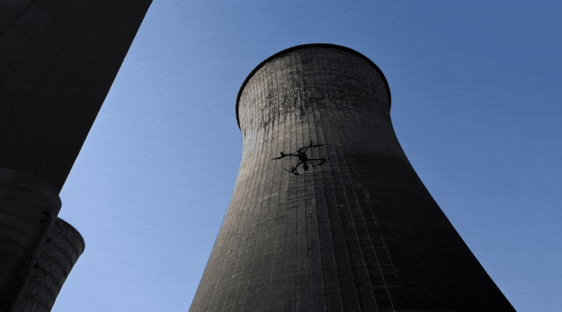
LiDAR Drone Surveying
Airborne LiDAR capturing detailed terrain data

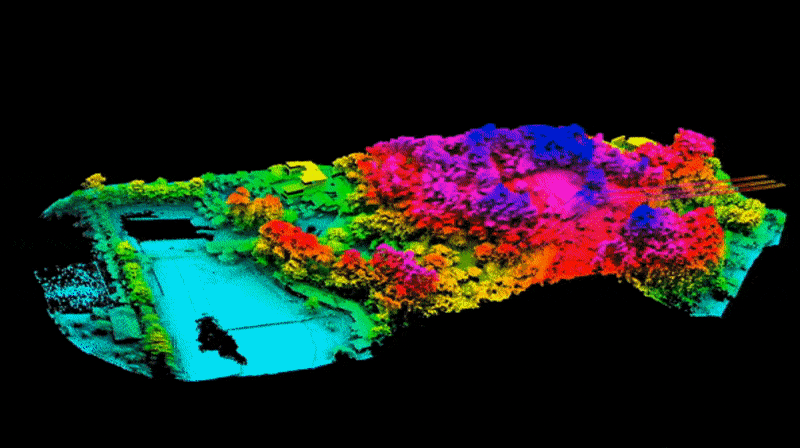
Point Cloud Visualization
Dense LiDAR point clouds with XYZ coordinates
Vegetation Penetration
LiDAR capturing ground surface through tree canopy
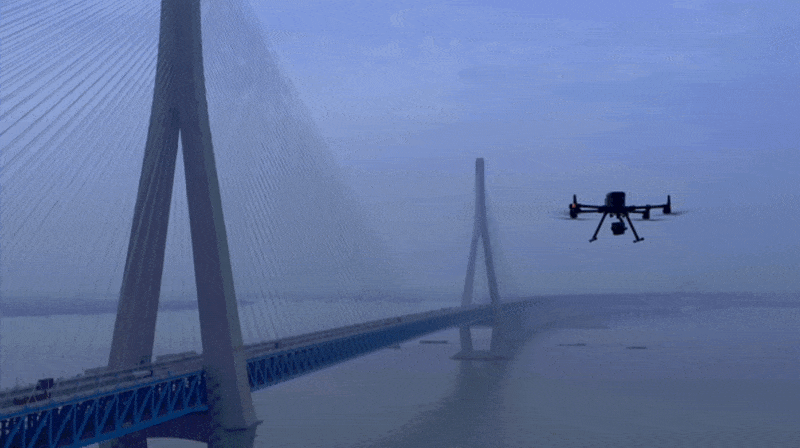
Infrastructure Mapping
LiDAR scanning for infrastructure projects
Our Process
A streamlined workflow designed to deliver exceptional results.
Planning
Define area, accuracy needs, and deliverables.
Control Survey
Establish ground control for accuracy verification.
LiDAR Acquisition
Execute flight with drone-mounted LiDAR system.
Processing
Point cloud processing, classification, and product generation.
What You'll Receive
- Classified Point Cloud (LAS)
- Digital Terrain Model
- Contour Lines (DXF/SHP)
- Intensity Images
- Cross Sections
- Volume Calculations
Key Benefits
- Survey through vegetation
- Faster than traditional methods
- Consistent accuracy across projects
- Works in challenging terrain
- Multiple data products from one flight
- Repeatable for change detection
Industries We Serve
Our lidar surveying services support professionals across these industries.
Frequently Asked Questions
How is LiDAR different from photogrammetry?
LiDAR uses laser pulses to measure distance, allowing it to penetrate vegetation and capture ground surface. Photogrammetry relies on visible imagery.
What accuracy do you achieve?
With proper ground control, we achieve 2-4cm vertical accuracy and 3-5cm horizontal accuracy.
Can you survey under tree canopy?
Yes, LiDAR multiple returns penetrate vegetation to capture bare-earth terrain.
Ready to Get Started?
Request a custom quote for your lidar surveying project. We'll respond within 1 hour with pricing and availability.